


Saturday, July 1, 2006
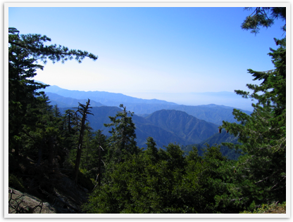
Hike: Mt. Waterman in the Angeles National Forest
Elevation gain: approx. 1300 ft.
Ending elevation: 8038 ft
Mileage: approx. 7 miles round trip
Directions:
Get to the intersection of the 210 and the 2 (Angeles Crest Highway) and exit on the 2 heading toward the mountains (uphill). For example, from the South Bay one can take the 105E, 110N, 5N, 2 (labeled north or east), 210E very briefly, exit on 2 at Angeles Crest Highway exit.
Below is a web page with a log of Angeles Crest Highway points of interest and mile markers: http://tchester.org/sgm/places/sr2_log.html