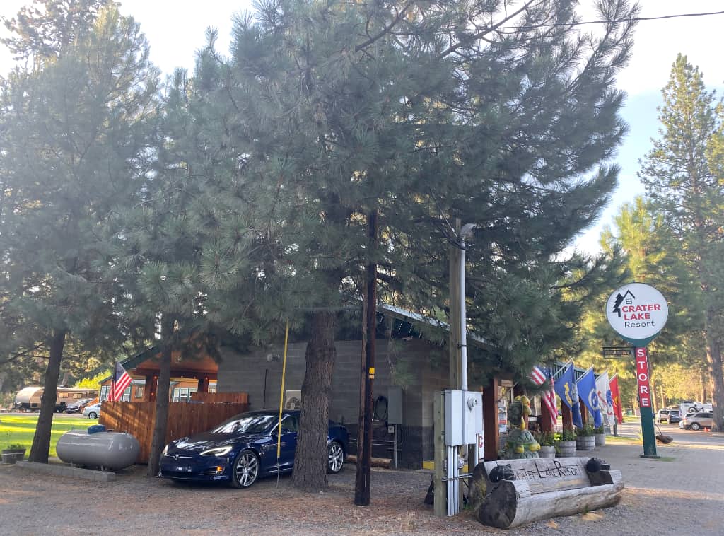
| Crater Lake Resort
|
|
We already purchased our breakfast at the store here at Crater Lake Resort yesterday
so each of us could enjoy a meal immediately after we woke in our cabin.
Our major stop for today was a must-see for my wife, as well as for myself,
so she was motivated to have the whole family get ready promptly to start our day.
Using the National Park book and the maps we obtained yesterday,
I researched the previous night which hikes would be most compatible for my children
and which would be the most worthwhile to do.
After we completed packing this morning, we loaded the car after
I unplugged from the overnight charge
and
headed up to our big destination of the day.
|
|
|
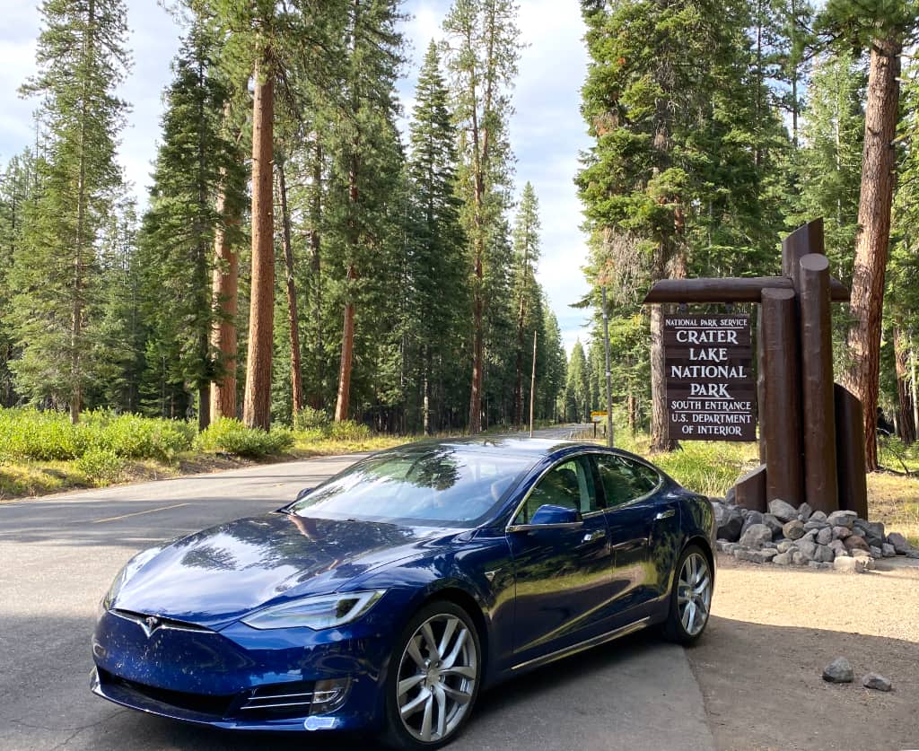
| Crater Lake National Park
|
| Time | Event | Range Remaining |
|---|
| 8:31 am | Departed Crater Lake Resort | 320 |
| 9:07 am | Arrived Crater Lake Viewpoint | 269 |
Range/Distance ratio: 1.89
Conditions: Uphill
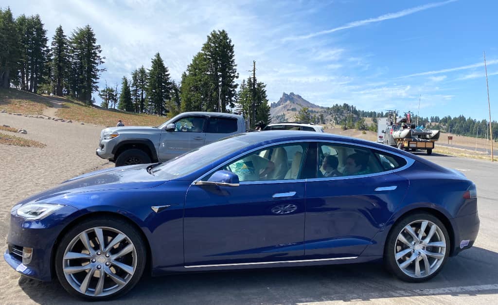
Because we already enjoyed some sightseeing up to the rim of Crater Lake yesterday, we could
drive as promptly as possible to Rim Village to locate the trailhead for our first hike of the day:
1 mile out to Discovery Point.
|
|
|
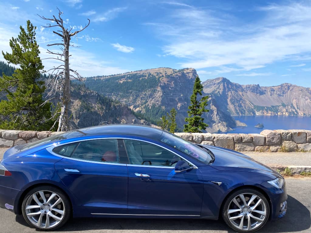
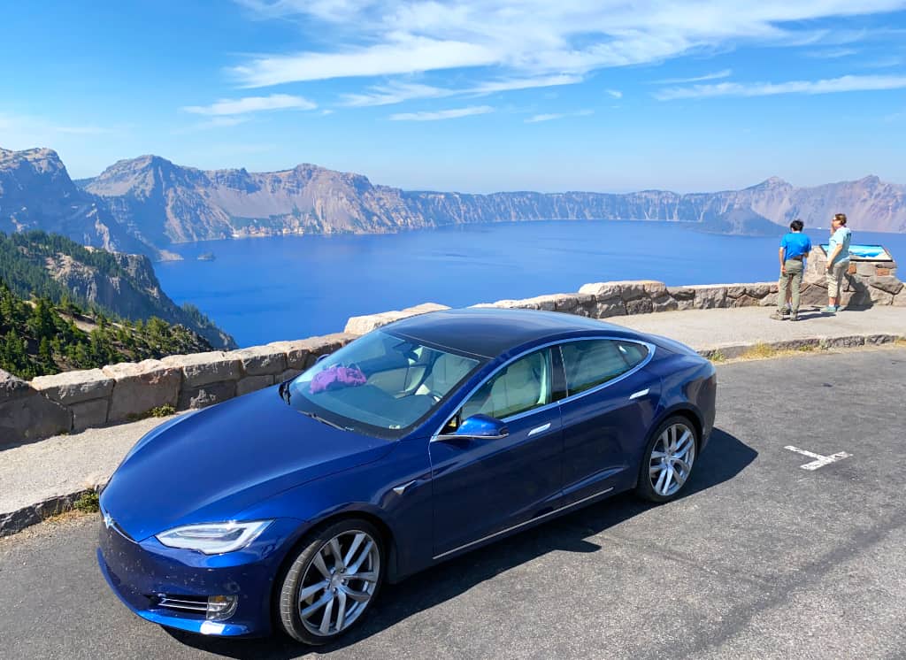
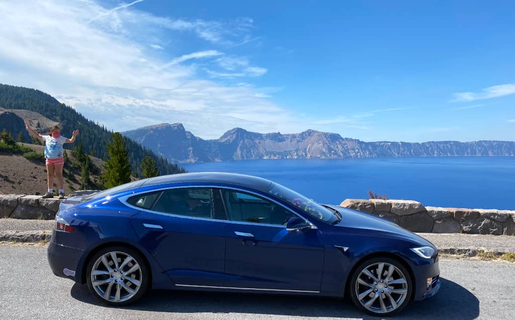
| Discovery Point
|
The hike west from Rim Village gave us beautiful views of the lake,
which looked very different today in the morning sun compared to the
afternoon sun when we visited yesterday.
We were getting closer to Wizard Island, the tip of the cinder cone
jutting up out of the water.
|
This location is so named because it is near where the first European-American stumbled across this place,
which at first he named "Deep Blue Lake".
In principle this is an out-and-back hike. My daughter complained a bit about the speed on the hike.
When we reached Discovery point and took a few pictures, I decided to save my daughter's endurance for
another hike later today and save some time by offerring to run back by myself back to the car
while they wait at and enjoy the views from Discovery Point.
I returned with the car to pick them up
so fast they did not wait long.
|

|
|
| Phantom Ship Overlook
|
|
Next on our agenda was to drive the paved loop around Crater Lake,
which is also part of the
Volcanic Legacy Scenic Byway,
and take in the sights as we went.
The "Rim Drive" features a 33-mile journey completely around this body of water.
It meanders outward and inwards to reach a variety of interesting view points of the lake.
Picking up my family from Discovery Point means retreading the bit between here and Rim Village already
before continuing counterclockwise around Crater Lake.
One of our first interesting sights was Phantom Ship Overlook,
a view of the small jagged island 16-stories tall
whose outline
resembles a sailing ship.
|

|
|
| Victor View
|
|
As the road wandered in and out,
more opportunities presented themselves to see
the Phantom Ship and Wizard Island from other points of view.
Towers of pumice stone grew out the slopes extending from the rim
down into the crater.
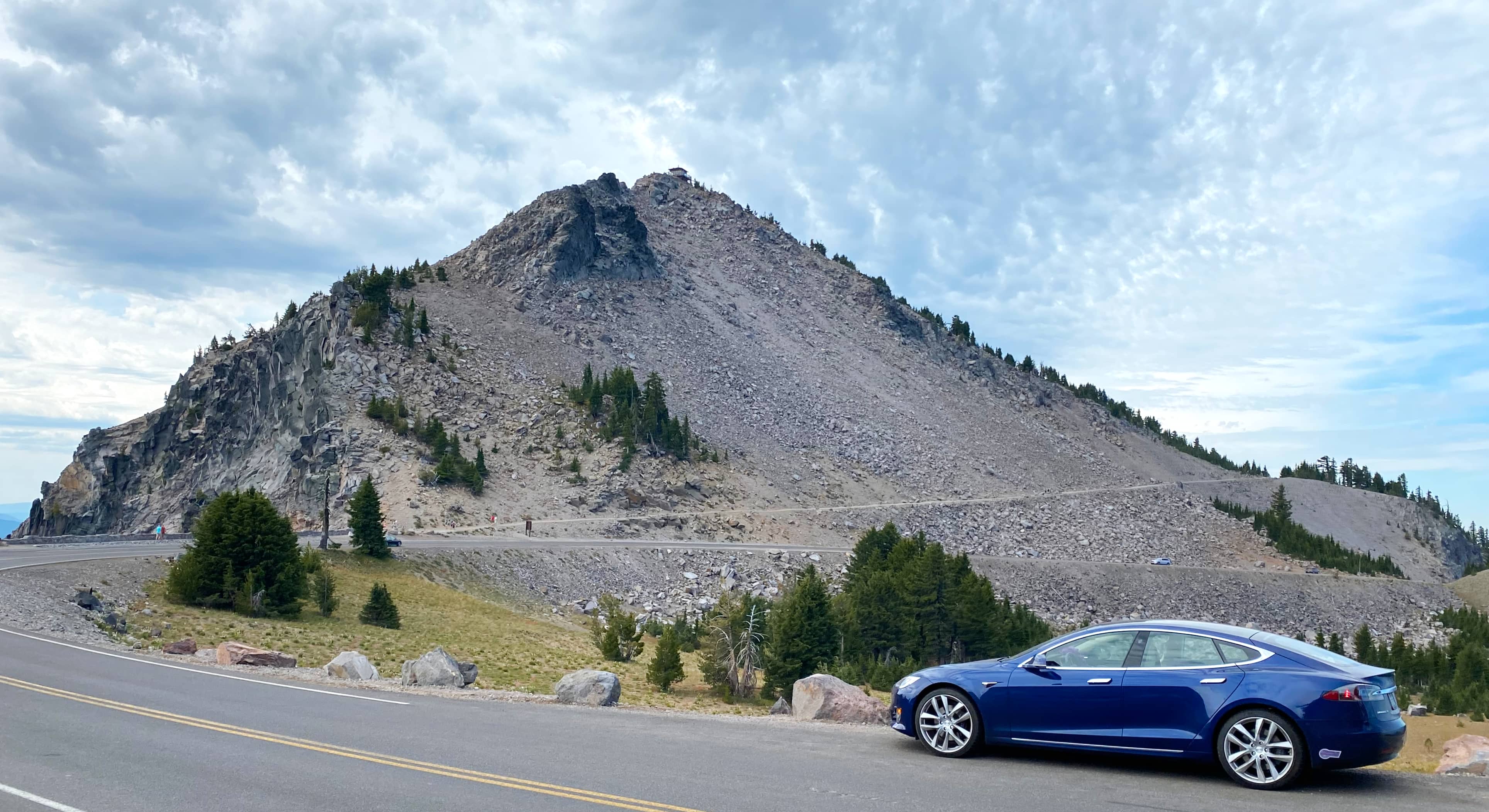
Coming up was the trailhead to Mount Scott, a mountain on the east side whose
peak is the highest point in Crater Lake National Park.
Unfortunately we did not have time to hike this, and
it was much too steep for my daughter.
|
|
|
| Cloud Cap Overlook
|
|
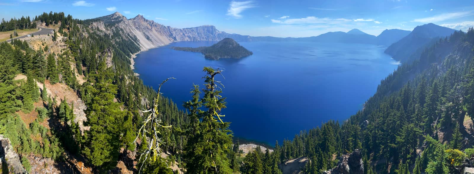
Now we could finally see Crater Lake from its eastern edge with the morning sun behind us.
This was one of the major viewpoints I anticipated for today.
We took some beautiful pictures from here
really capturing the full extent and size of this crater and lake.
We could see Wizard Island on
the far side from where we were.
The weather here was rather windy, and to get the best pictures of us with the water below
I had to place the tripod on top of the car.
I was concerned about the wind blowing over and breaking my new tripod like
what happened at Coeur d'Alene last week.
Fortunately a bystander offered to hold the tripod in place on my car roof while I triggered my iPhone with my Watch.
|
|
|
| Grotto Grove
|
|
We continued counterclockwise around the lake.
From Grotto Grove we could begin to see
the Cleetwood Cove trail to the north,
the only foot access down to the lake from the rim
and the location of the boat dock.
Under normal circumstances boat rides would be possible from that dock,
but due to the pandemic all tourist boat rides were canceled.
Later that day we could see a research vessel leave that dock to take measurements in the center of the lake.
|
|
|
| Pumice Point
|
|
When we reached the trailhead for Cleetwood Cove Trail, the parking was quite full,
indicating a lot of folks wanting to hike down to the lake.
We read that dipping into the lake was allowed, and
the water was very cold because most of it comes from snow fall
and the depth means it has enough mass to retain a fairly constant temperature year-round.
My wife wanted to see if we could get a view of the dock at the bottom of the trail,
so this was one of the attempts. It was very difficult to see.
|
|
|
| Steel Bay
|
|
By the time we drove around to Steel Bay, it was apparent to me,
by looking at the map, that a ridge line would prevent us from seeing the dock.
However, this was the point we could see Crater Lake from its north rim.
We could see Mount Scott in the distance to the east.
|

|
|
| Merriam Point
|
|
Soon we found the intersection of the Rim Drive
with the road leading from the north entrance to Crater Lake National Park.
Here was a parking area with access to a view of Merriam Point via a
very sandy hillside.
My wife and I wanted to see the viewpoint and take pictures
while our children would rather just stay inside the car and enjoy Dog Mode.
The weather was beginning to get a little warmer.
|
|
|
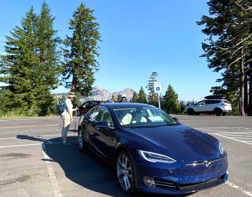
| Watchman Overlook and Watchman Peak
|
|
It was not long until we reached the western edge of the rim
and the Watchman Overlook, which was the trailhead for our second hike of the day.
It is a 1.6-mile hike that is quite steep leading to the top of Watchman Peak,
an excellent, high vantage point over the lake.
This was definitely a must-see according to the National Park book.
It was the view for which I wanted to save my daughter's energy
so that all of us could see.
With the sun roughly overhead now,
the illumination of the entire area was very bright.
The views from the top were spectacular.
|
|
|
| Annie Creek Restaurant
|
|
This was a great visit at Crater Lake National Park, but we were getting hungry.
| Time | Event | Range Remaining |
|---|
| 1:28 pm | Arrived Annie Creek Restaurant | 224 |
Range/Distance ratio: 1.02
Conditions: Sightseeing, picture-taking, hiking, 77°F
|
Fortunately the newspaper indicated that the Annie Creek restaurant in the park was serving lunch.
We continued on our loop around Crater Lake, closing it by seeing Discovery Point again from the road,
then we continued and drove down the Annie Creek Restaurant for lunch and a much-needed bathroom break.
|

|
|
|
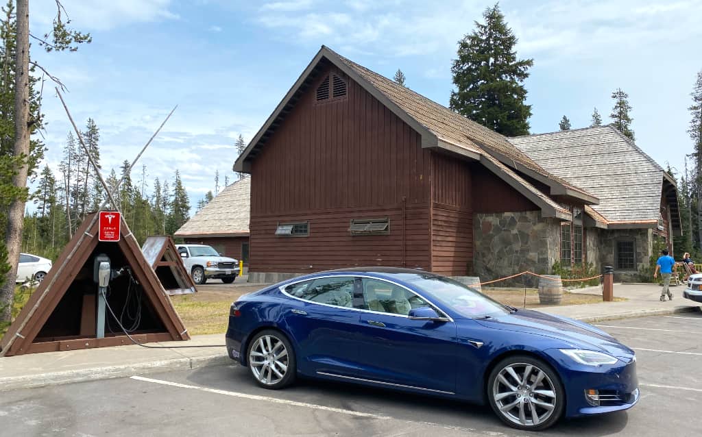
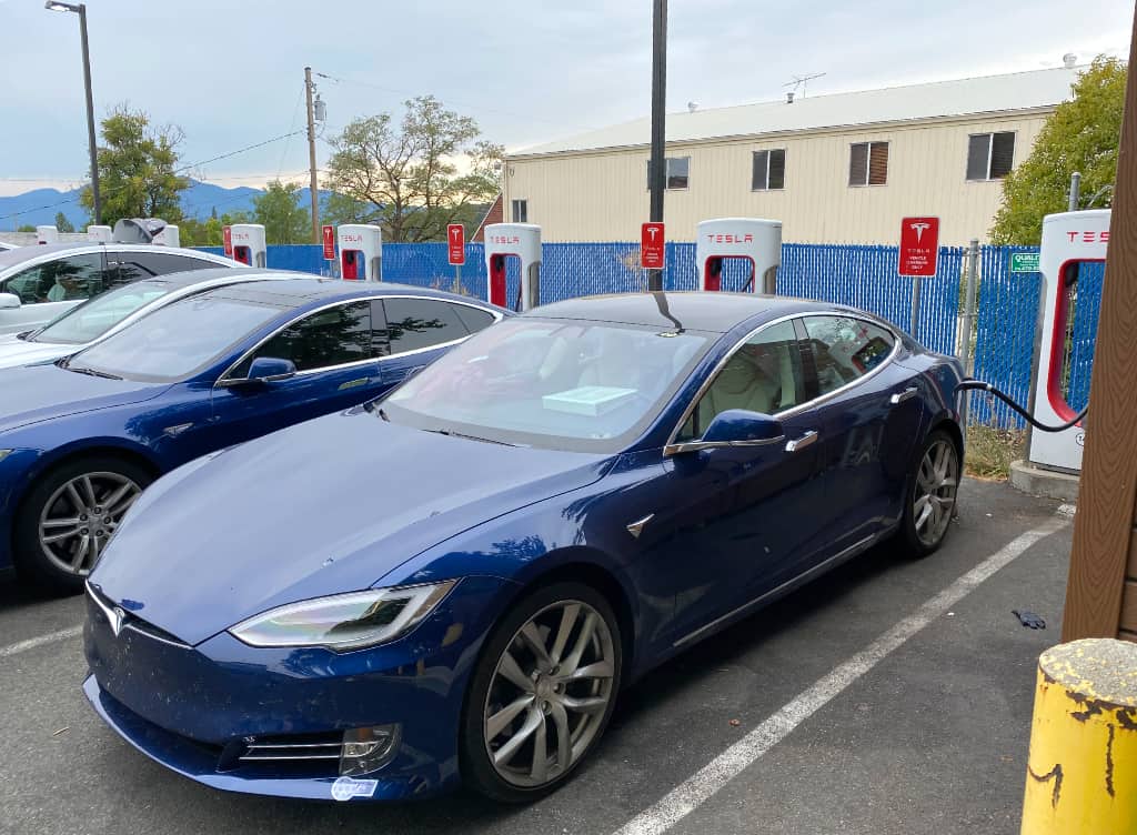
A fortunate happenstance is that this location has charging: both
a Tesla-native plug and a J1772 plug.
Even though I did not really need the charge for today's travel,
I plugged into the Tesla plug, allowing for the possibility that a non-Tesla BEV would arrive here.
It turns out a Model 3 briefly used the J1772.
Cost to Charge: $0
|
The store in this building also had a decent gift shop, so we
spent some time perusing here too after lunch.
We had a great time visiting at Crater Lake National Park, but it was time for us to go,
out the west entrance this time rather than the east
using route 62.
The signs told us we were now on the
Rogue-Umpqua Scenic Byway.
Here we could experience via the car the beautiful Oregon forests and lakes to the west of Crater Lake.
It felt like a reminder of the natural beauty we were leaving behind.
Most of this leg was remote enough we did not have cell phone reception,
so the
navigation map did not draw,
and we could not use our phones to navigate,
however
I studied this route sufficiently I knew which mountain routes to take
from here until reception returned.
|
|
|
| Grants Pass Supercharger
|
| Time | Event | Range Remaining |
|---|
| 2:41 pm | Departed Crater Lake National Park | 278 |
| 4:21 pm | Arrived Grant's Pass Supercharger | 218 |
Range/Distance ratio: 0.659
Conditions: Downhill
|
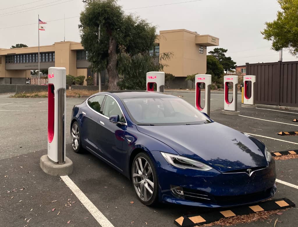
Our Supercharger spot for the day was Grants Pass,
where we found a McDonald's across the street to use the restroom and
buy some refreshments.
Cost to Charge: $0
|
|
|
|
|
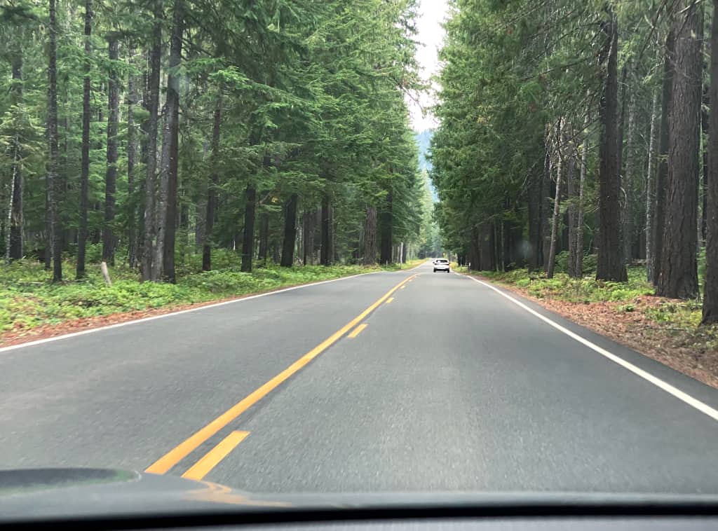
Soon we were on our way southwest again, this time on route 199,
and the signs here in Oregon indicated we were now on the
Redwood Highway.
At this early point it was not obvious to us the trees
were redwoods here,
despite passing through Redwood, Oregon.
We were nonetheless surrounded by enjoyable forests.
I knew about the Oregon Caves around here when I planned this trip,
but that was one of those sights that I had to cut for time.
Eventually we reached the California border, "right back where we started from",
except we entered at a part of California we never were before.
Once we crossed the border we joined the
Smith River Scenic Byway.
|

|
As we continued southwest on route 199, the forest changed
and with the trees changing into something that looked more like redwoods to us.
The route became a little more curvy, forcing us to slow a bit
lest the children's tummies get upset.
We passed by far more campgrounds and rivers and forests than we possibly had time to explore.
At some point it became obvious we found redwoods, especially with the sign
saying we were exiting Jebediah Smith Redwoods State Park.
We didn't even know we entered that Park from the east.
|
| Crescent City
|
| Time | Event | Range Remaining |
|---|
| 4:39 pm | Departed Grant's Pass | 258 |
| 6:35 pm | Arrived Crescent City | 174 |
Range/Distance ratio: 0.99
Conditions: Downhill, sightseeing
When we popped out of the forest we found Crescent City before us
and the Pacific Ocean a short distance west.
It was a short drive to find our next hotel, a Best Western.
After we checked in we had dinner next door
at the Ocean's 675
for outdoor seating.
Although this Best Western had various paid EV charging stalls,
I chose to drive to the Crescent City Supercharger and walk back to the hotel while my car topped off.
Mine was the only all-electric vehicle I could see in all of Crescent City.
Meanwhile I had the children watch a particular movie in preparation for tomorrow's stops.
|
|
Cost to Charge: $0
This Supercharger also happened to be next door to the Jebediah Smith Redwood State Park Visitors Center,
but due to the pandemic the entire building was completely closed.
I returned to retrieve my car before it was completely full and
parked back at the hotel.
|
Dean E. Dauger holds a Ph. D. in physics from UCLA, where his group
created the first Mac cluster in 1998. Dr. Dauger is the award-winning
author in multiple American Institute of Physics' Software Contests and
co-authored the original, award-winning Kai's Power Tools
image-processing package for Adobe Photoshop.
After founding his company,
Dauger Research, Inc., its debut product,
Pooch, derived from Dr. Dauger's experience using clusters for his
physics research, was soon awarded as "most innovative" by IEEE Cluster
and continues to revolutionize parallel computing and clusters worldwide
with its patented technology.
|